The Route
Where is PCC?
For starters, where is Pulane Children's Centre?
30°16'32.79"S
28° 3'48.04"E
NOTE: The position on Google is correct, but not the address 'Lesotho sun rd, Maseru.' That is an incorrect listing.
It takes about 10hrs from JHB or Durban, 13 hrs from Cape Town, and if you fly to Maseru, it's about a 5 hr drive from there.
The run
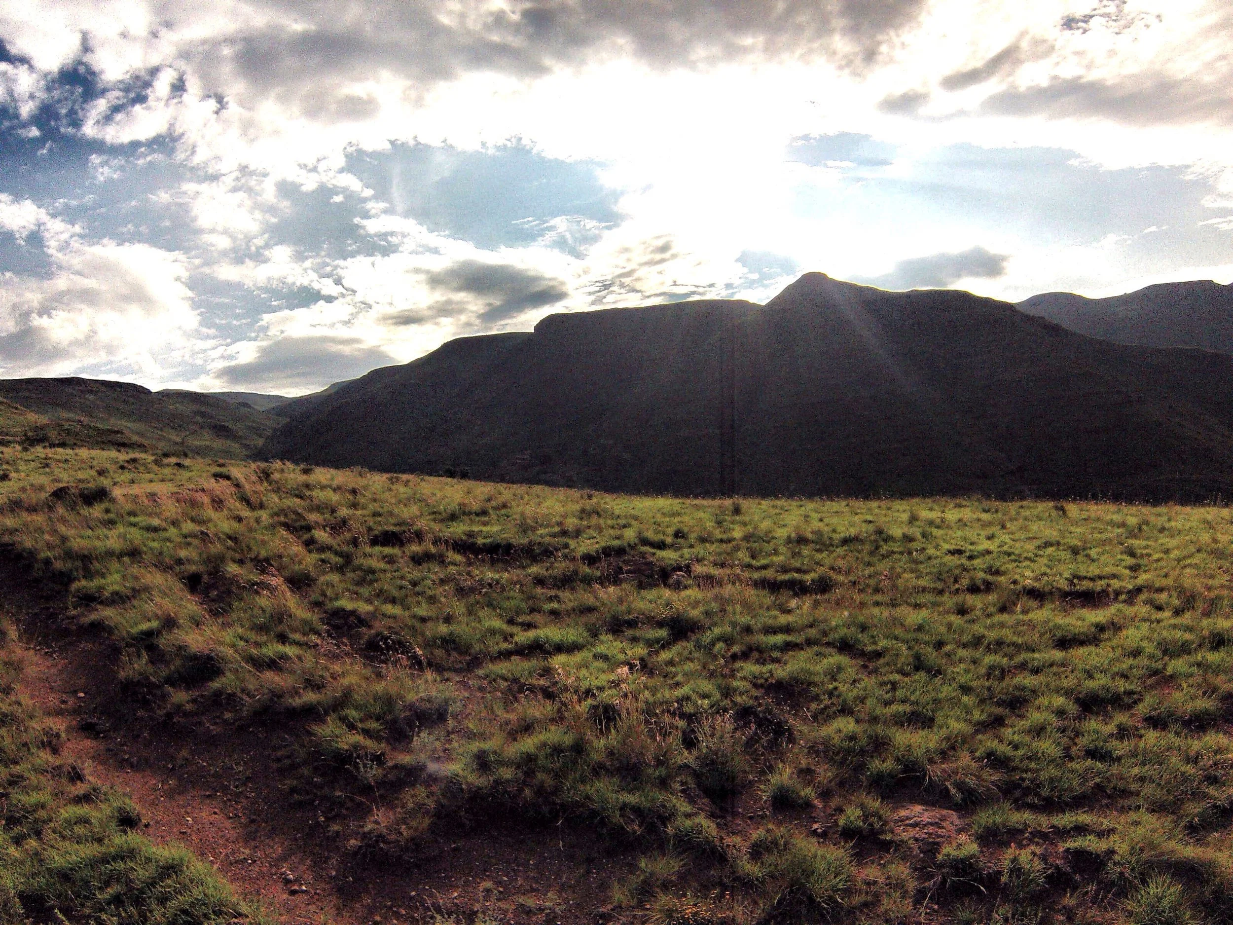
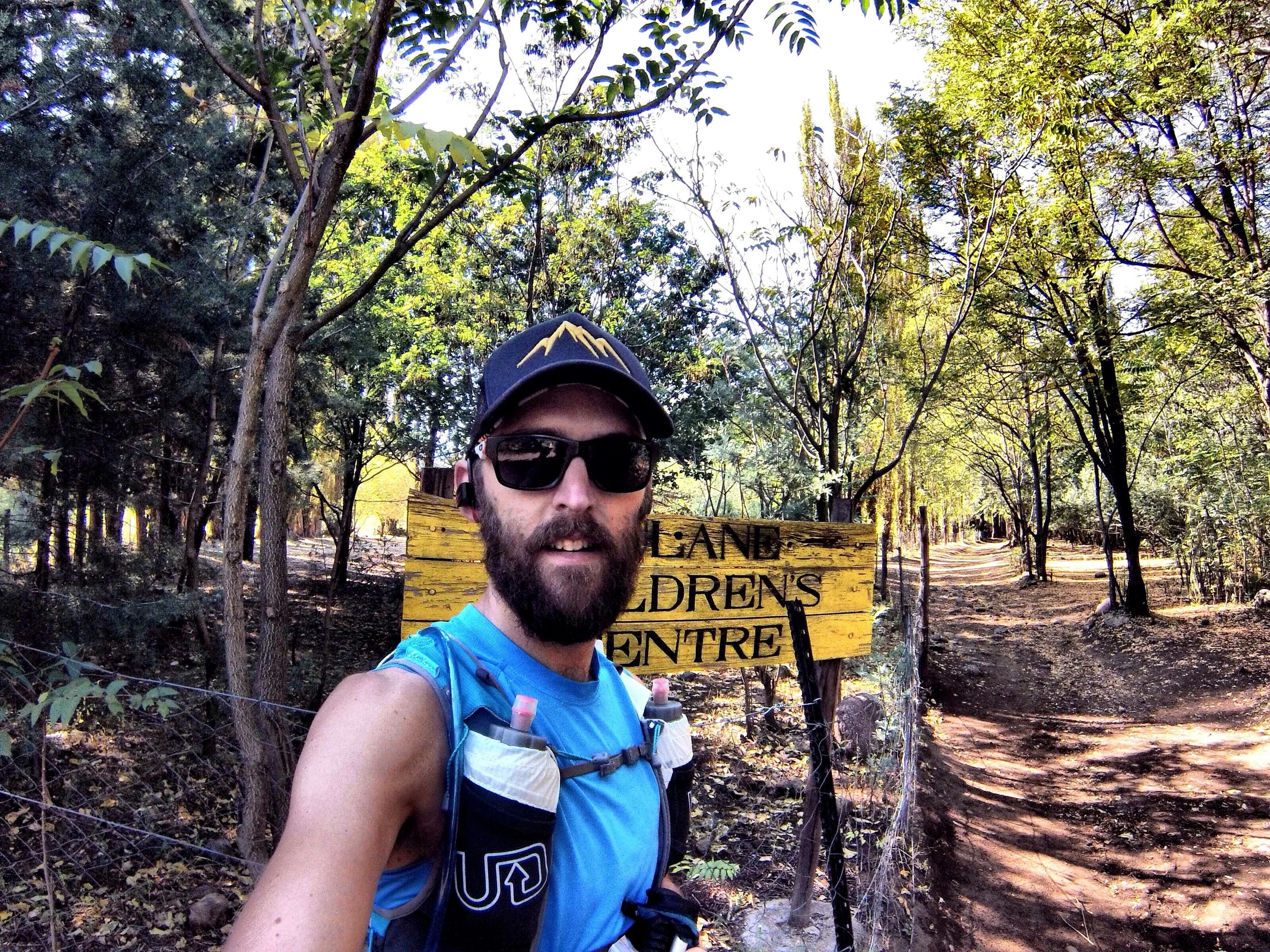
Starting at PCC front gate (at the sign post), the run starts by going over a footbridge crossing the Quthing river, and after about 200m the climbing starts.
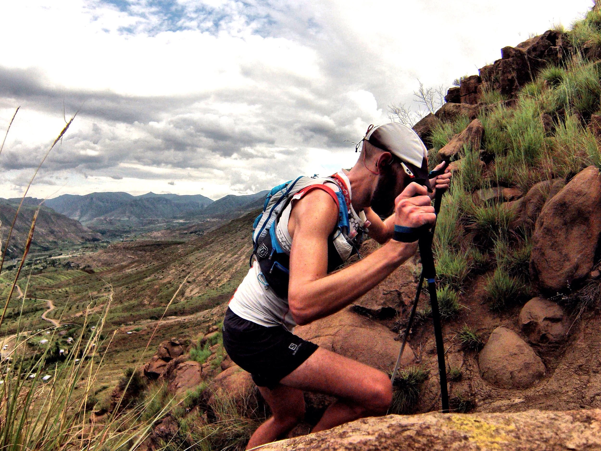
Essentially, the first half of the route is all climbing, with little relief to run. The route goes up the ridge behind the Ha Makoae Village, and within 20 minutes you are taken up and away from any villages or foot traffic, besides a few shepherds and donkeys.
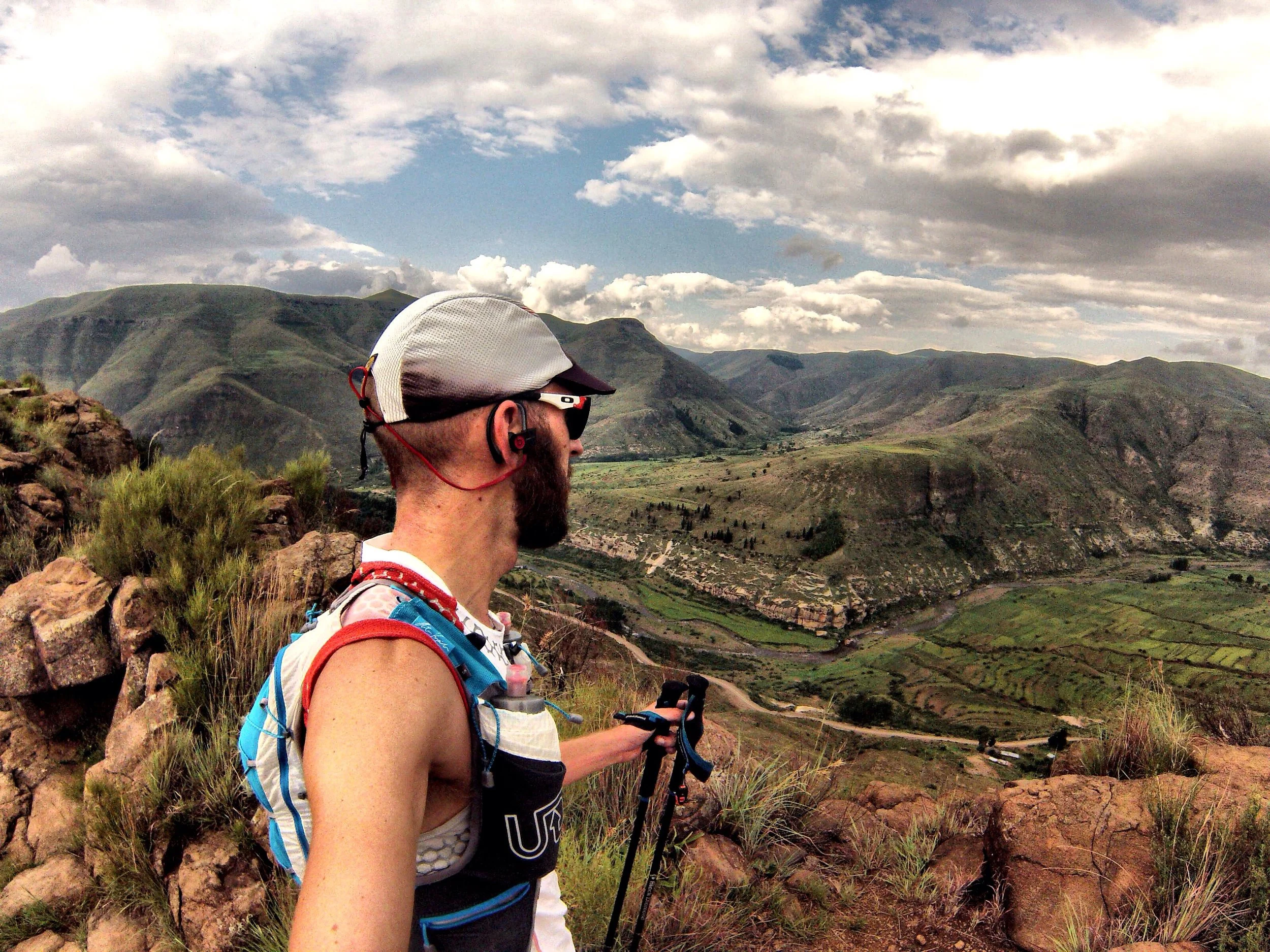
Once you are up the first ridge, the route takes a slightly more gradual trail up the side of a Thaba Liholo ("Big Mountain"), where you will find a tiny and basic village called Thepung. It wont take you long to pass the few stone buildings and start climbing again up the ridge before Ha Thene village. Finally a little downhill past Ha 'Muso, where you will pick you way on trails that will connect to a main bridle path thats pretty easy to spot.
By now you will easily see the false summit of Thaba Putsoa, and you will follow the bridle path around to the northern slopes where the vegetation is a little easier to get through. If you follow the GPS track well, you will find a small single track that traverses, and slowly climbs, the foothill part of TP.
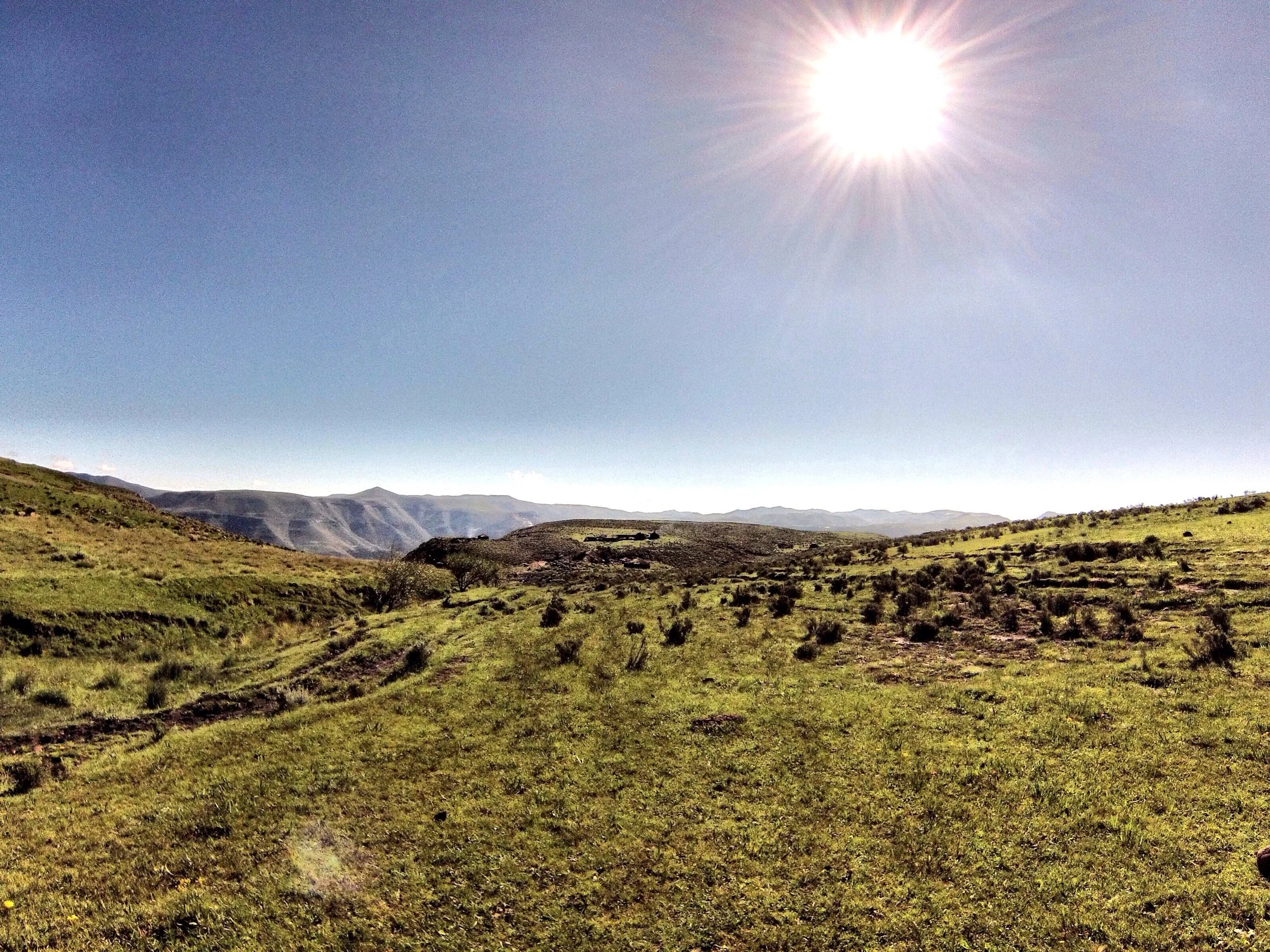
The path, along with the GPS track, will lead you around the side of the mountain, until you will finally see the bigger chunk of Thaba Putsoa. Once the climbing starts again, it will be off trail, making a last push for the summit. Don't get too excited, there are a few false summits to crush your spirit before you reach the real one.
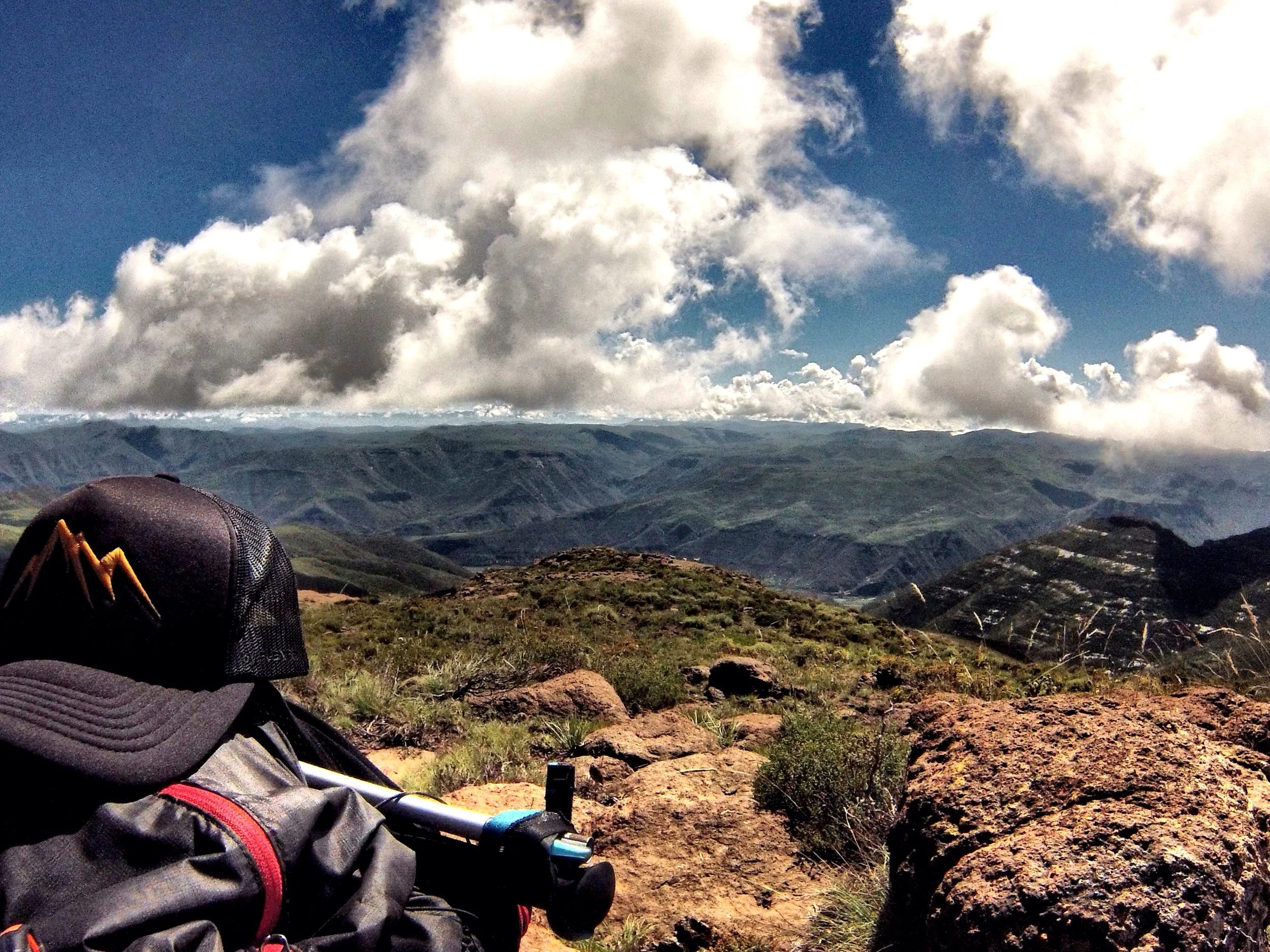
Once you reach the peak, you will see a pile of stones where the GPS track stops. You've made the summit! Remember to get a peak selfie to prove you made it, and then turn around and head back.
Once you reach the bridle path, take note that the route back is slightly different, just for the sake of keeping it interesting. You will take a different route towards Thepung and then connect with the trail you took out, descending down the back of the Ha Makoae village, all the way down to the river, across and to the end at the PCC gate!
Expectations and warnings:
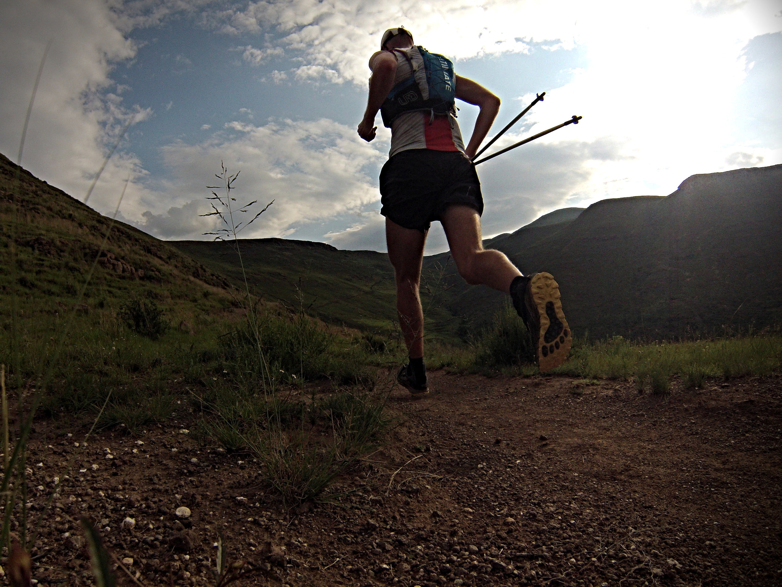
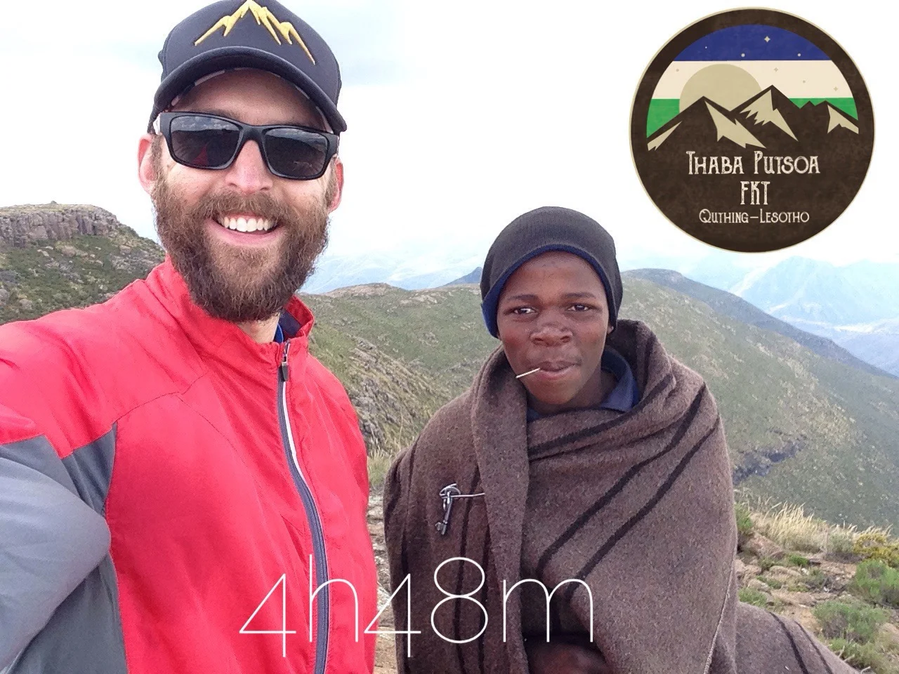
You can expect this route to be a lot of power hiking on the uphills, and some careful running on the downhills. The first known time for this route was set in March 2017, at 4 hrs 48 mins..
There will be no water filling points on route, although with a lifestraw you will find many springs or water (don't recommend drinking straight from them without a lifestraw because of animal waste in water). Locals will always help in emergencies with water and shelter.
The winter months will be harsh on this route. Don't run it without a good bit of cold weather gear for an emergency.
Vodacom Lesotho cell signal is available 90% of the time on 90% of the route. If you have followed the recommendations and spoken to the organizer, you can to take a Lesotho Cell phone with for safety.
This is 100% self supported effort. There are no fail safes or marshals to help you out there. So make sure you know what you are doing when it comes to mountain navigation and survival. This is deep rural Lesotho, and any assistance that locals provide will be very basic.
If you would like to enter, click below.